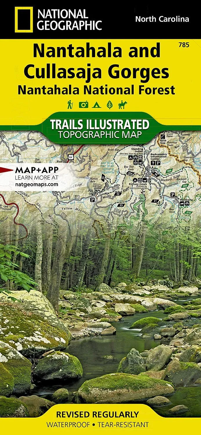
• Waterproof • Tear-Resistant • Topographic Map
National Geographic's Trail Illustrated map of Natahala and Cullasaja Gorges offers unparalleled detail for outdoor enthusiasts exploring the eastern half of Natahala National Forest. Expertly researched and created in partnership with the U.S. Forest Service and others, this map includes valuable trail and safety information as well as activity guides to help you select the most suitable location to explore according to your needs and interests. The maps also includes trail charts, broken down by district, listing each trail's mileage and designated use. Trails on the map are also color coded according designated use.


![Navionics NAUS007R - U.S. East - Navionics [010-C1370-30] Navionics NAUS007R - U.S. East - Navionics [010-C1370-30]](https://www.joureyactive.shop/image/navionics-naus007r-us-east-navionics-010-c1370-30_lGt8ea_300x.webp)


